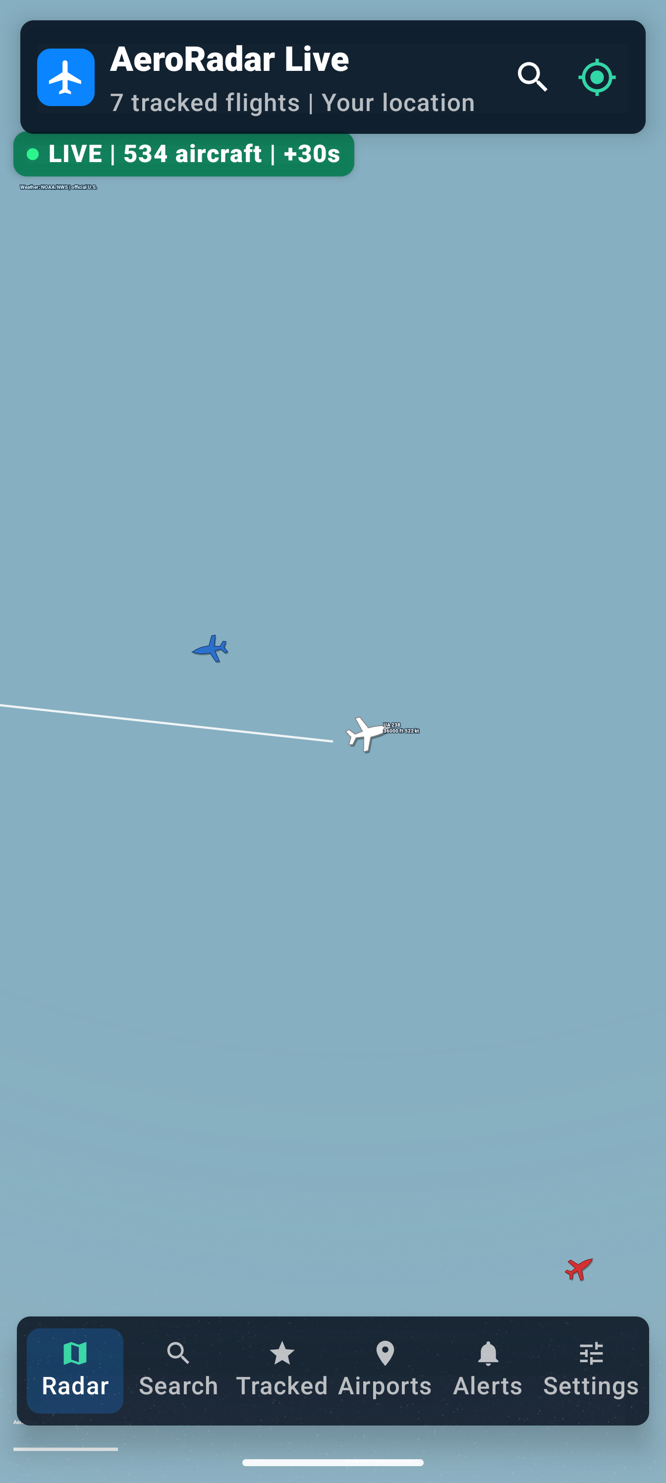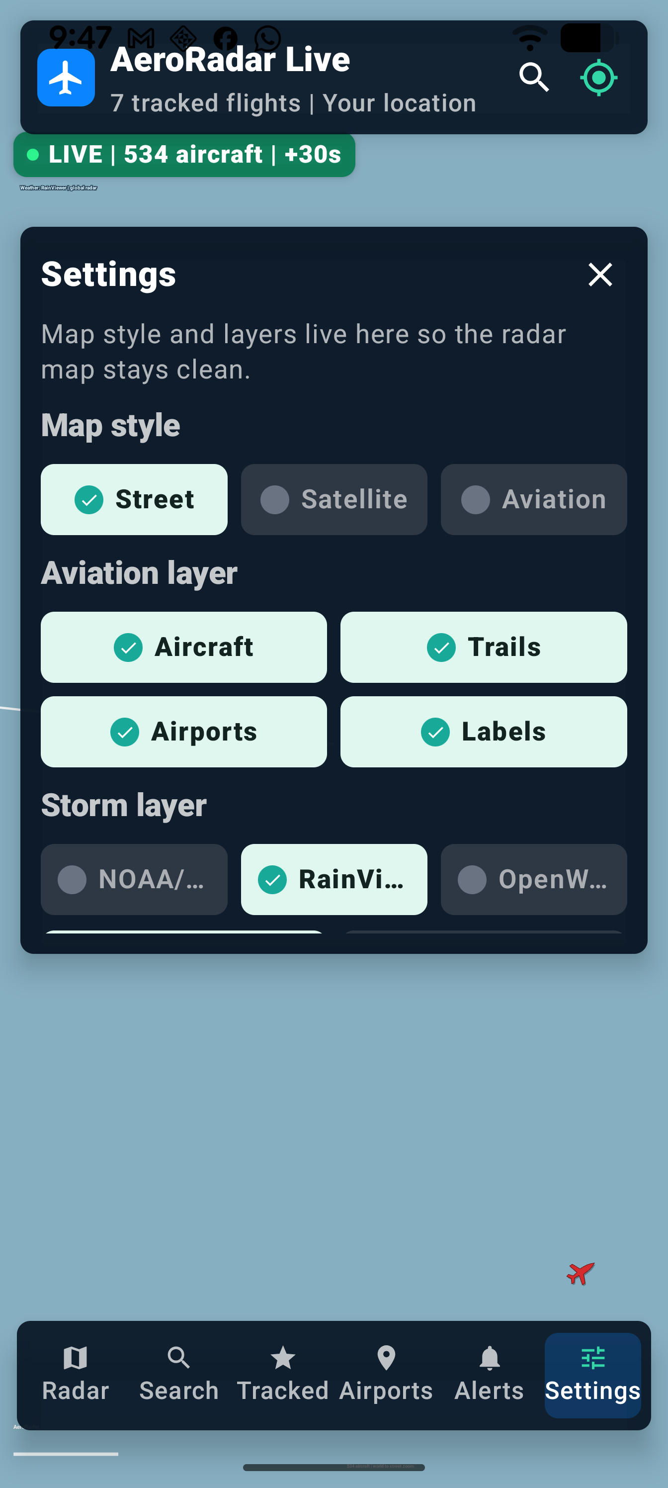
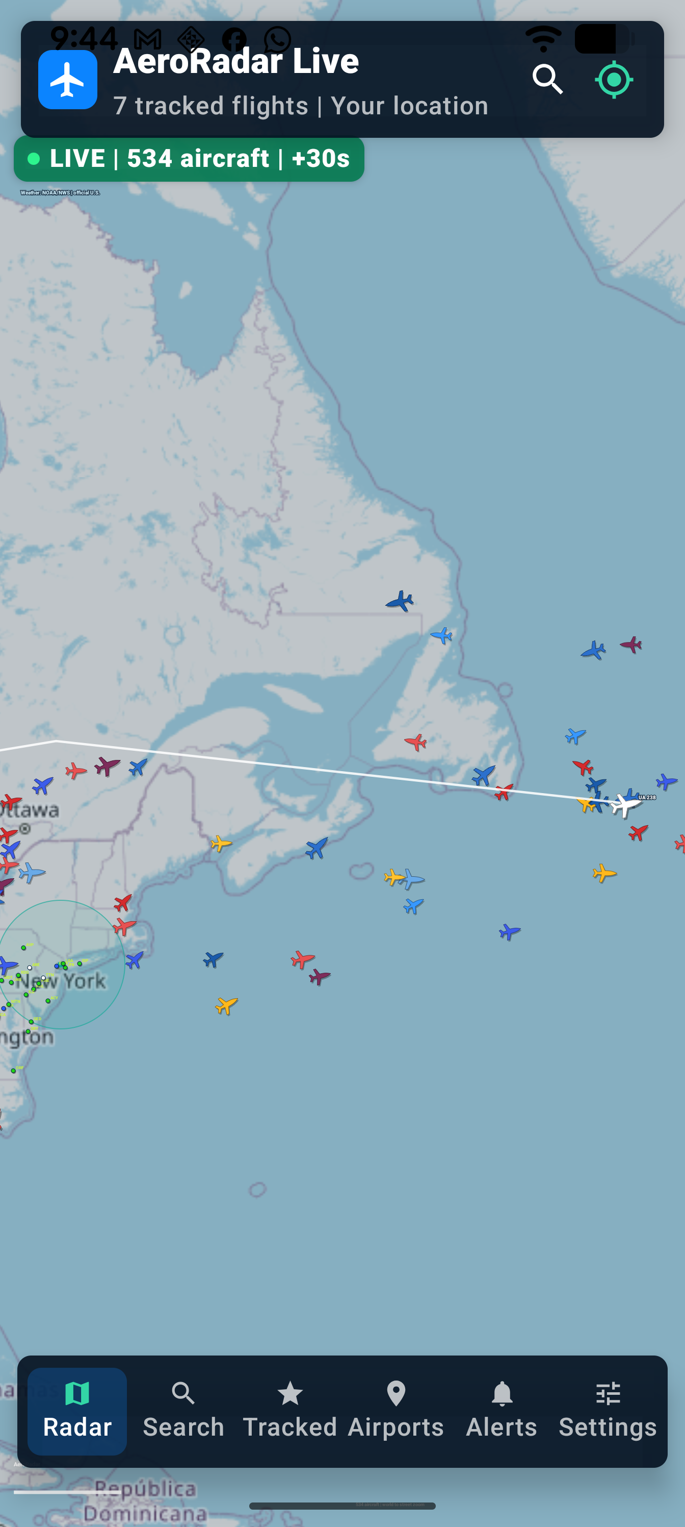
Global map, heading-rotated aircraft icons, trails, weather layers, airport markers, and map settings.
Coming soon aviation app
AeroRadar Live
A map-first flight tracker prototype focused on live-style radar, aircraft trails, airport context, weather layers, predictive search, tracked flights, and replay-ready telemetry.
Google Play coming soon
App Store planned
App profile
Radar-first aviation context for mobile.
AeroRadar Live is being shaped around the moment users open the app: a moving map, visible aircraft, route trails, nearby airport awareness, and enough operational context to make the sky feel readable.
Aircraft details, tracked flights, search suggestions, route intelligence, telemetry, and replay controls.
Prototype traffic today, with gateway-ready provider hooks for aviation APIs and production-safe keys.
Sneak peek
Early screenshots from the mobile radar build.